Participatory Mapping Training Course
Participatory mapping, GIS training, community engagement, land use planning, geospatial analysis, disaster risk reduction, climate resilience, storytelling with maps, OpenStreetMap, mapping for advocacy, participatory GIS, natural resource management, sustainable development, digital mapping tools, inclusive planning, capacity building, data visualization, development projects, urban planning, indigenous rights
Skills Covered
Course Overview
Participatory Mapping Training Course
Introduction
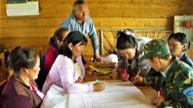
Participatory Mapping Training equips participants with innovative tools, methodologies, and approaches to actively involve communities in data collection, analysis, and visualization of spatial information. Participatory Mapping Training Course emphasizes inclusivity, sustainability, and capacity building, focusing on how maps can be used as powerful instruments for decision-making, advocacy, and community development. By using modern mapping technologies, participants learn how to engage stakeholders and co-create solutions to pressing challenges such as land use planning, natural resource management, disaster risk reduction, and climate adaptation.
The course combines theory with practical applications, ensuring that learners understand both the conceptual frameworks and technical competencies of participatory mapping. From digital platforms and geospatial analysis to community engagement strategies and storytelling through maps, the training enhances participantsΓÇÖ ability to apply participatory mapping in diverse contexts. With its hands-on approach, the training fosters collaboration, problem-solving, and knowledge sharing, making it an essential program for development practitioners, researchers, NGOs, and policymakers.
Course Objectives
- To introduce the fundamental concepts of participatory mapping and community engagement
- To explore modern digital mapping tools and geospatial technologies
- To strengthen skills in collaborative data collection and validation
- To apply participatory approaches in sustainable land use planning
- To integrate mapping in disaster risk reduction and climate resilience strategies
- To use participatory GIS for natural resource management
- To analyze spatial data for community-driven decision-making
- To enhance storytelling and visualization through participatory maps
- To explore ethical considerations in participatory mapping practices
- To design community engagement frameworks for participatory projects
- To examine case studies of successful participatory mapping initiatives
- To build participantsΓÇÖ confidence in facilitating participatory mapping sessions
- To promote innovation, inclusivity, and knowledge transfer in participatory mapping
Organizational Benefits
- Improved capacity in participatory planning and decision-making
- Enhanced stakeholder engagement for project success
- Access to innovative mapping technologies for development work
- Better integration of spatial data in strategic planning
- Strengthened organizational credibility in inclusive practices
- Increased ability to analyze and visualize community-driven data
- Promotion of sustainable and equitable resource management
- Enhanced project transparency and accountability
- Strengthened advocacy through powerful visual storytelling
- Improved organizational competitiveness in development initiatives
Target Audiences
- Development practitioners
- Policy makers
- NGO staff and project managers
- Academic researchers
- Urban planners
- Environmental specialists
- Community leaders
- Disaster risk management professionals
Course Duration: 5 days
Course Modules
Module 1: Introduction to Participatory Mapping
- Understanding participatory mapping concepts
- The role of mapping in development and community empowerment
- Principles of inclusive participation in mapping processes
- Overview of tools used in participatory mapping
- Key benefits and limitations of participatory mapping
- Case study: Community land mapping in East Africa
Module 2: Digital Tools and Technologies for Mapping
- Introduction to GIS software and open-source platforms
- Mobile applications for participatory data collection
- Remote sensing and geospatial tools for local projects
- Data integration across multiple mapping platforms
- Ensuring accessibility and usability of mapping tools
- Case study: OpenStreetMap in humanitarian response
Module 3: Community Engagement Strategies
- Designing inclusive engagement frameworks
- Building trust with local communities
- Participatory data collection methods
- Facilitating workshops and focus groups
- Addressing power dynamics in community interactions
- Case study: Participatory mapping for indigenous land rights
Module 4: Data Collection and Validation
- Methods of participatory data gathering
- Ground-truthing techniques
- Ensuring accuracy in community-generated data
- Ethical considerations in data collection
- Managing data security and privacy
- Case study: Mapping for water resource management
Module 5: Land Use Planning and Resource Management
- Participatory land use mapping approaches
- Natural resource mapping and monitoring
- Integrating local knowledge with geospatial data
- Conflict resolution in land use through mapping
- Policy implications of participatory land use planning
- Case study: Forest resource mapping in Southeast Asia
Module 6: Disaster Risk Reduction and Climate Adaptation
- Mapping hazards and vulnerabilities
- Participatory risk assessment approaches
- Integrating mapping into resilience planning
- Community-led disaster preparedness strategies
- Monitoring climate change impacts with maps
- Case study: Flood risk mapping in South Asia
Module 7: Storytelling with Maps
- Transforming maps into advocacy tools
- Techniques for effective visualization
- Narrative development through participatory maps
- Engaging policymakers with visual data
- Communicating complex issues simply
- Case study: Story maps for urban inequality
Module 8: Ethics, Sustainability, and Innovation
- Ethical challenges in participatory mapping
- Ensuring sustainability of participatory mapping projects
- Promoting inclusivity and representation
- Innovations in mapping technologies
- Scaling up participatory approaches
- Case study: Mapping for gender equality in Latin America
Training Methodology
- Interactive lectures with visual presentations
- Practical sessions using mapping tools and software
- Group work and participatory exercises
- Fieldwork and community engagement simulations
- Case study analysis and group discussions
- Role-play for participatory facilitation skills
Register as a group from 3 participants for a Discount
Send us an email: info@datastatresearch.org or call +254724527104
Certification
Upon successful completion of this training, participants will be issued with a globally- recognized certificate.
Tailor-Made Course
We also offer tailor-made courses based on your needs.
Key Notes
a. The participant must be conversant with English.
b. Upon completion of training the participant will be issued with an Authorized Training Certificate
c. Course duration is flexible and the contents can be modified to fit any number of days.
d. The course fee includes facilitation training materials, 2 coffee breaks, buffet lunch and A Certificate upon successful completion of Training.
e. One-year post-training support Consultation and Coaching provided after the course.
f. Payment should be done at least a week before commence of the training, to DATASTAT CONSULTANCY LTD account, as indicated in the invoice so as to enable us prepare better for you.