Arcgis Courses
Explore instructor-led and hybrid programs aligned to practical Arcgis use cases across industries.
Available Arcgis Courses
Showing 1-40 of 40 courses

10 days
Accra, Addis Ababa, Bangkok, Cape Town, Dubai, Istanbul, Kigali, Nairobi, Singapore
Agriculture & Rural Innovation Policies Training Course
Agriculture & Rural Innovation Policies Training Course is designed to equip policymakers, development practitioners, and agricultural stakeholders with the knowledge and tools necessary to develop, implement, and evaluate innovative policies that drive productivity, resilience, and economic growth in rural communities.
Agriculture & Rural Innovation Policies Training Course is designed to equip policymakers, development practitioners, and agricultural stakeholders with the knowledge and tools necessary to develop, implement, and evaluate innovative policies that drive productivity, resilience, and economic growth in rural communities.

10 days
Accra, Addis Ababa, Bangkok, Cape Town, Dubai, Istanbul, Kigali, Nairobi, Singapore
Biodiversity Loss and Human Population Growth Training Course
Biodiversity Loss and Human Population Growth Training Course is designed to equip professionals with advanced knowledge and applied skills to understand the complex interactions between population expansion, ecosystem degradation, climate stress, land-use change, and biodiversity decline.
Biodiversity Loss and Human Population Growth Training Course is designed to equip professionals with advanced knowledge and applied skills to understand the complex interactions between population expansion, ecosystem degradation, climate stress, land-use change, and biodiversity decline.

Defense and Security
10 days
Accra, Addis Ababa, Bangkok, Cape Town, Dubai, Istanbul, Kigali, Nairobi, Singapore
Certified in Homeland Security (CHS) Training Course
Certified in Homeland Security (CHS) Training Course equips participants with the advanced operational, analytical, and strategic skills needed to strengthen national preparedness, enhance crisis response, and safeguard critical infrastructure.
Certified in Homeland Security (CHS) Training Course equips participants with the advanced operational, analytical, and strategic skills needed to strengthen national preparedness, enhance crisis response, and safeguard critical infrastructure.

5 days
Accra, Addis Ababa, Bangkok, Cape Town, Dubai, Istanbul, Kigali, Nairobi, Singapore
Climate Change Adaptation in Urban Areas Training Course
Climate Change Adaptation in Urban Areas Training Course equips professionals with the knowledge, skills, and practical strategies required to develop and implement climate change adaptation plans in cities.
Climate Change Adaptation in Urban Areas Training Course equips professionals with the knowledge, skills, and practical strategies required to develop and implement climate change adaptation plans in cities.

5 days
Accra, Addis Ababa, Bangkok, Cape Town, Dubai, Istanbul, Kigali, Nairobi, Singapore
Climate Change Vulnerability Mapping Training Course
Climate Change Vulnerability Mapping Training Course is designed to equip professionals with advanced skills in climate risk assessment, geospatial analysis, disaster risk reduction, environmental modeling, climate resilience planning, and adaptation strategy development.
Climate Change Vulnerability Mapping Training Course is designed to equip professionals with advanced skills in climate risk assessment, geospatial analysis, disaster risk reduction, environmental modeling, climate resilience planning, and adaptation strategy development.

5 days
Accra, Addis Ababa, Bangkok, Cape Town, Dubai, Istanbul, Kigali, Nairobi, Singapore
Climate Refugees: Legal and Social Frameworks Training Course
Climate Refugees: Legal and Social Frameworks Analysis Training Course provides an in-depth analysis of the legal frameworks, social implications, and policy mechanisms addressing the needs of displaced populations due to environmental crises.
Climate Refugees: Legal and Social Frameworks Analysis Training Course provides an in-depth analysis of the legal frameworks, social implications, and policy mechanisms addressing the needs of displaced populations due to environmental crises.

10 days
Accra, Addis Ababa, Bangkok, Cape Town, Dubai, Istanbul, Kigali, Nairobi, Singapore
Coastal & Marine Innovation Policy Design Training Course
Coastal & Marine Innovation Policy Design Training Course is meticulously crafted to equip public administrators, environmental policymakers, marine researchers, and sustainability advocates with advanced strategies for developing innovative coastal and marine policies.
Coastal & Marine Innovation Policy Design Training Course is meticulously crafted to equip public administrators, environmental policymakers, marine researchers, and sustainability advocates with advanced strategies for developing innovative coastal and marine policies.

10 days
Accra, Addis Ababa, Bangkok, Cape Town, Dubai, Istanbul, Kigali, Nairobi, Singapore
Coastal Demography and Sea-Level Rise Training Course
Coastal Demography and Sea-Level Rise Training Course equips professionals with advanced skills to analyze population trends, assess environmental vulnerabilities, and develop adaptive strategies to mitigate risks.
Coastal Demography and Sea-Level Rise Training Course equips professionals with advanced skills to analyze population trends, assess environmental vulnerabilities, and develop adaptive strategies to mitigate risks.
10 days
Accra, Addis Ababa, Bangkok, Cape Town, Dubai, Istanbul, Kigali, Nairobi, Singapore
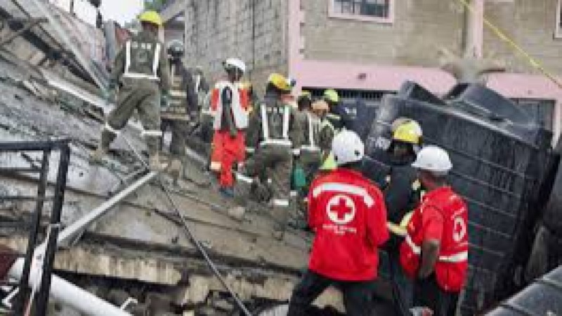
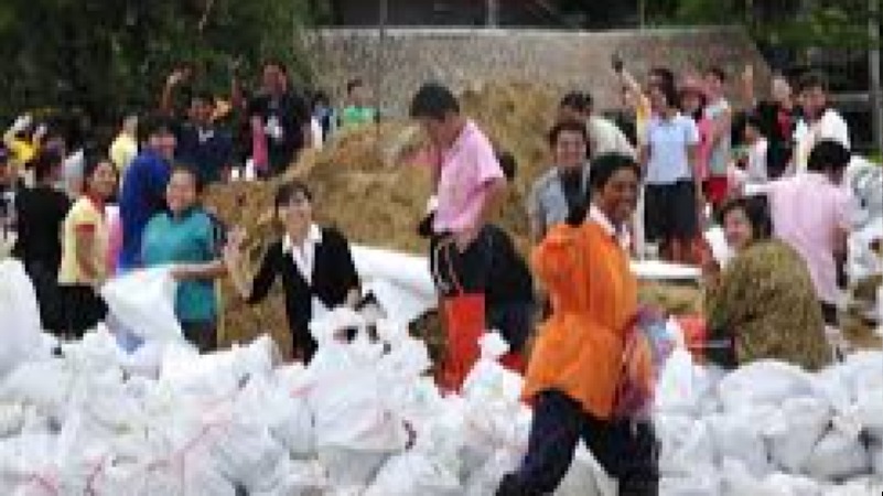
Community Disaster Response Training Course
Community Disaster Response Training Course is designed to equip participants with advanced skills and practical knowledge to effectively manage and respond to natural and man-made disasters.
Community Disaster Response Training Course is designed to equip participants with advanced skills and practical knowledge to effectively manage and respond to natural and man-made disasters.

5 days
Accra, Addis Ababa, Bangkok, Cape Town, Dubai, Istanbul, Kigali, Nairobi, Singapore
Community Environmental Education Training Course
Community Environmental Education Training Course is designed to equip participants with comprehensive knowledge and practical skills to promote sustainable environmental practices within local communities.
Community Environmental Education Training Course is designed to equip participants with comprehensive knowledge and practical skills to promote sustainable environmental practices within local communities.

5 days
Accra, Addis Ababa, Bangkok, Cape Town, Dubai, Istanbul, Kigali, Nairobi, Singapore
Community Infrastructure Development Training Course
Community Infrastructure Development Training Course is designed to equip participants with comprehensive knowledge and practical skills in planning, designing, implementing, and maintaining community infrastructure projects.
Community Infrastructure Development Training Course is designed to equip participants with comprehensive knowledge and practical skills in planning, designing, implementing, and maintaining community infrastructure projects.
5 days
Accra, Addis Ababa, Bangkok, Cape Town, Dubai, Istanbul, Kigali, Nairobi, Singapore
Community Resilience Building Training Course
Community Resilience Building Training Course is designed to equip participants with advanced knowledge, practical skills, and strategic tools to enhance community adaptability, sustainability, and overall well-being.
Community Resilience Building Training Course is designed to equip participants with advanced knowledge, practical skills, and strategic tools to enhance community adaptability, sustainability, and overall well-being.

5 days
Accra, Addis Ababa, Bangkok, Cape Town, Dubai, Istanbul, Kigali, Nairobi, Singapore
Cultural Heritage and Community Development Training Course
Cultural Heritage and Community Development Training Course provides participants with the tools and insights to understand, preserve, and leverage cultural heritage as a strategic asset for community empowerment.
Cultural Heritage and Community Development Training Course provides participants with the tools and insights to understand, preserve, and leverage cultural heritage as a strategic asset for community empowerment.

5 days
Accra, Addis Ababa, Bangkok, Cape Town, Dubai, Istanbul, Kigali, Nairobi, Singapore
Demographic Methods for Urban Policy Training Course
Demographic Methods for Urban Policy Training Course equips participants with advanced quantitative and qualitative techniques to analyze population data and translate these insights into actionable urban strategies.
Demographic Methods for Urban Policy Training Course equips participants with advanced quantitative and qualitative techniques to analyze population data and translate these insights into actionable urban strategies.

5 days
Accra, Addis Ababa, Bangkok, Cape Town, Dubai, Istanbul, Kigali, Nairobi, Singapore
Demography of Climate Adaptation Training Course
Demography of Climate Adaptation Training Course provides an in-depth exploration of the dynamic relationship between population trends and climate change resilience strategies.
Demography of Climate Adaptation Training Course provides an in-depth exploration of the dynamic relationship between population trends and climate change resilience strategies.
10 days
Accra, Addis Ababa, Bangkok, Cape Town, Dubai, Istanbul, Kigali, Nairobi, Singapore
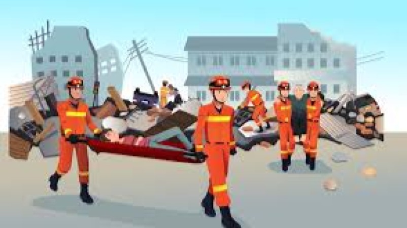
Disaster Response Project Delivery Training Course
Disaster Response Project Delivery Training Course provides an in-depth understanding of disaster management principles, emergency logistics, and project delivery techniques that enable organizations to respond to natural and man-made disasters efficiently.
Disaster Response Project Delivery Training Course provides an in-depth understanding of disaster management principles, emergency logistics, and project delivery techniques that enable organizations to respond to natural and man-made disasters efficiently.

5 days
Accra, Addis Ababa, Bangkok, Cape Town, Dubai, Istanbul, Kigali, Nairobi, Singapore
Eco-Demography: Principles and Practice Training Course
Eco-Demography: Principles and Practice Training Course equips participants with advanced knowledge in population dynamics, environmental sustainability, and demographic modeling, focusing on the impacts of climate change, resource distribution, and human migration patterns.
Eco-Demography: Principles and Practice Training Course equips participants with advanced knowledge in population dynamics, environmental sustainability, and demographic modeling, focusing on the impacts of climate change, resource distribution, and human migration patterns.

5 days
Accra, Addis Ababa, Bangkok, Cape Town, Dubai, Istanbul, Kigali, Nairobi, Singapore
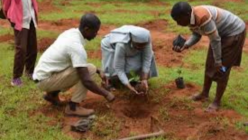
Ecosystem Restoration in Communities Training Course
Ecosystem Restoration in Communities Training Course is designed to empower participants with the knowledge, skills, and practical strategies to restore and rehabilitate degraded ecosystems within local communities.
Ecosystem Restoration in Communities Training Course is designed to empower participants with the knowledge, skills, and practical strategies to restore and rehabilitate degraded ecosystems within local communities.
5 days
Accra, Addis Ababa, Bangkok, Cape Town, Dubai, Istanbul, Kigali, Nairobi, Singapore
Environmental Conservation Programs Training Course
Environmental Conservation Programs Training Course equips participants with practical strategies, knowledge of global environmental policies, and tools to develop, manage, and monitor conservation projects effectively.
Environmental Conservation Programs Training Course equips participants with practical strategies, knowledge of global environmental policies, and tools to develop, manage, and monitor conservation projects effectively.

5 days
Accra, Addis Ababa, Bangkok, Cape Town, Dubai, Istanbul, Kigali, Nairobi, Singapore
Environmental Migration and Displacement Training Course
Environmental Migration and Displacement Training Course is designed to equip professionals with advanced knowledge, practical skills, and evidence-based strategies to address migration flows triggered by environmental factors.
Environmental Migration and Displacement Training Course is designed to equip professionals with advanced knowledge, practical skills, and evidence-based strategies to address migration flows triggered by environmental factors.

5 days
Accra, Addis Ababa, Bangkok, Cape Town, Dubai, Istanbul, Kigali, Nairobi, Singapore
Forced Migration and Human Rights Training Course
Forced Migration and Human Rights Training Course provides participants with the knowledge and practical skills necessary to analyze migration trends, assess the vulnerabilities of displaced populations, and develop sustainable interventions.
Forced Migration and Human Rights Training Course provides participants with the knowledge and practical skills necessary to analyze migration trends, assess the vulnerabilities of displaced populations, and develop sustainable interventions.

10 days
Accra, Addis Ababa, Bangkok, Cape Town, Dubai, Istanbul, Kigali, Nairobi, Singapore
Geospatial Analytics for Public Sector Innovation Training Course
Geospatial Analytics for Public Sector Innovation Training Course equips professionals with high-impact spatial intelligence capabilities to drive evidence-based governance, smart infrastructure planning, disaster resilience, public safety optimization, environmental sustainability, and citizen-centric service delivery.
Geospatial Analytics for Public Sector Innovation Training Course equips professionals with high-impact spatial intelligence capabilities to drive evidence-based governance, smart infrastructure planning, disaster resilience, public safety optimization, environmental sustainability, and citizen-centric service delivery.

10 days
Accra, Addis Ababa, Bangkok, Cape Town, Dubai, Istanbul, Kigali, Nairobi, Singapore
Geospatial Intelligence (GEOINT) Analysis and Application Training Course
Geospatial Intelligence (GEOINT) Analysis and Application Training Course provides a comprehensive framework for understanding GEOINT data acquisition, processing, analysis, and visualization, enabling participants to apply advanced geospatial tools and techniques in real-world scenarios.
Geospatial Intelligence (GEOINT) Analysis and Application Training Course provides a comprehensive framework for understanding GEOINT data acquisition, processing, analysis, and visualization, enabling participants to apply advanced geospatial tools and techniques in real-world scenarios.

5 days
Accra, Addis Ababa, Bangkok, Cape Town, Dubai, Istanbul, Kigali, Nairobi, Singapore
GIS and Spatial Population Analytics Training Course
GIS and Spatial Population Analytics Training Course is designed to equip professionals with cutting-edge skills in geographic information systems, demographic mapping, spatial modeling, and predictive population analytics.
GIS and Spatial Population Analytics Training Course is designed to equip professionals with cutting-edge skills in geographic information systems, demographic mapping, spatial modeling, and predictive population analytics.

10 days
Accra, Addis Ababa, Bangkok, Cape Town, Dubai, Istanbul, Kigali, Nairobi, Singapore
GIS for Community Mapping Training Course
GIS for Community Mapping Training Course equips professionals with practical skills in geospatial analysis, digital mapping, spatial data management, participatory GIS, and community-based spatial planning.
GIS for Community Mapping Training Course equips professionals with practical skills in geospatial analysis, digital mapping, spatial data management, participatory GIS, and community-based spatial planning.

5 days
Accra, Addis Ababa, Bangkok, Cape Town, Dubai, Istanbul, Kigali, Nairobi, Singapore
Green Urban Planning and Demography Training Course
Green Urban Planning and Demography Training Course is designed to equip urban planners, demographers, policymakers, and sustainability professionals with advanced knowledge and practical skills for creating eco-friendly, data-driven urban environments.
Green Urban Planning and Demography Training Course is designed to equip urban planners, demographers, policymakers, and sustainability professionals with advanced knowledge and practical skills for creating eco-friendly, data-driven urban environments.

5 days
Accra, Addis Ababa, Bangkok, Cape Town, Dubai, Istanbul, Kigali, Nairobi, Singapore
Healthy Urban Systems Training Course
Healthy Urban Systems Training Course is designed to equip urban planners, public health professionals, policymakers, and community leaders with the knowledge, strategies, and tools to address complex urban health challenges.
Healthy Urban Systems Training Course is designed to equip urban planners, public health professionals, policymakers, and community leaders with the knowledge, strategies, and tools to address complex urban health challenges.

Demography and Population Studies
5 days
Accra, Addis Ababa, Bangkok, Cape Town, Dubai, Istanbul, Kigali, Nairobi, Singapore
Housing and Community Services Planning Training Course
Housing and Community Services Planning Training Course provides professionals with practical tools and evidence-based strategies to design, implement, and manage housing and community services programs that meet the needs of diverse populations.
Housing and Community Services Planning Training Course provides professionals with practical tools and evidence-based strategies to design, implement, and manage housing and community services programs that meet the needs of diverse populations.

5 days
Accra, Addis Ababa, Bangkok, Cape Town, Dubai, Istanbul, Kigali, Nairobi, Singapore
Housing Needs and Population Projections Training Course
Housing Needs and Population Projections Training Course is designed to equip professionals with advanced skills in analyzing, forecasting, and planning housing requirements based on dynamic population trends.
Housing Needs and Population Projections Training Course is designed to equip professionals with advanced skills in analyzing, forecasting, and planning housing requirements based on dynamic population trends.

5 days
Accra, Addis Ababa, Bangkok, Cape Town, Dubai, Istanbul, Kigali, Nairobi, Singapore
Inclusive Urban Design & Public Spaces Training Course
Inclusive Urban Design & Public Spaces Training Course explores innovative strategies for creating urban environments that cater to diverse populations, including marginalized communities, persons with disabilities, and the elderly.
Inclusive Urban Design & Public Spaces Training Course explores innovative strategies for creating urban environments that cater to diverse populations, including marginalized communities, persons with disabilities, and the elderly.
5 days
Accra, Addis Ababa, Bangkok, Cape Town, Dubai, Istanbul, Kigali, Nairobi, Singapore
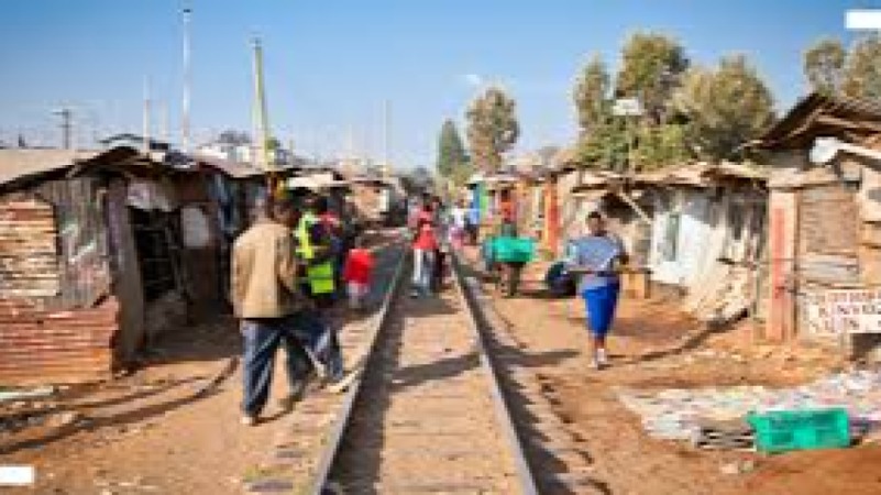
Informal Settlement Upgrading Training Course
Informal Settlement Upgrading Training Course provides participants with in-depth knowledge and practical skills to design, plan, and implement effective upgrading initiatives.
Informal Settlement Upgrading Training Course provides participants with in-depth knowledge and practical skills to design, plan, and implement effective upgrading initiatives.

5 days
Accra, Addis Ababa, Bangkok, Cape Town, Dubai, Istanbul, Kigali, Nairobi, Singapore
Infrastructure & Utilities Planning Training Course
Infrastructure & Utilities Planning Training Course is designed to equip professionals with cutting-edge knowledge and practical skills for strategic planning, design, and management of critical infrastructure systems.
Infrastructure & Utilities Planning Training Course is designed to equip professionals with cutting-edge knowledge and practical skills for strategic planning, design, and management of critical infrastructure systems.

5 days
Accra, Addis Ababa, Bangkok, Cape Town, Dubai, Istanbul, Kigali, Nairobi, Singapore
Internal Displacement in Conflict Zones Training Course
Internal Displacement in Conflict Zones Training Course provides participants with a comprehensive, data-driven, and policy-oriented understanding of internal displacement dynamics, emphasizing protection frameworks, humanitarian coordination, durable solutions, early warning systems, and evidence-based response strategies.
Internal Displacement in Conflict Zones Training Course provides participants with a comprehensive, data-driven, and policy-oriented understanding of internal displacement dynamics, emphasizing protection frameworks, humanitarian coordination, durable solutions, early warning systems, and evidence-based response strategies.

10 days
Accra, Addis Ababa, Bangkok, Cape Town, Dubai, Istanbul, Kigali, Nairobi, Singapore
Internal Migration Analysis: Drivers & Effects Training Course
Internal Migration Analysis: Drivers & Effects Training Course provides a comprehensive exploration of migration patterns, integrating advanced analytical tools, AI-driven modeling, and real-time data sources to uncover the underlying factors influencing population movement.
Internal Migration Analysis: Drivers & Effects Training Course provides a comprehensive exploration of migration patterns, integrating advanced analytical tools, AI-driven modeling, and real-time data sources to uncover the underlying factors influencing population movement.

5 days
Accra, Addis Ababa, Bangkok, Cape Town, Dubai, Istanbul, Kigali, Nairobi, Singapore
Irregular Migration Patterns Training Course
Irregular Migration Patterns Training Course provides participants with the knowledge and practical tools necessary to analyze migration trends, identify risk factors, and develop policies that enhance border security while respecting human rights.
Irregular Migration Patterns Training Course provides participants with the knowledge and practical tools necessary to analyze migration trends, identify risk factors, and develop policies that enhance border security while respecting human rights.

5 days
Accra, Addis Ababa, Bangkok, Cape Town, Dubai, Istanbul, Kigali, Nairobi, Singapore
Managing Urban Infrastructure Training Course
Managing Urban Infrastructure Training Course provides a comprehensive framework for understanding the planning, maintenance, and optimization of urban systems, including transportation networks, water and sanitation services, energy grids, and waste management.
Managing Urban Infrastructure Training Course provides a comprehensive framework for understanding the planning, maintenance, and optimization of urban systems, including transportation networks, water and sanitation services, energy grids, and waste management.

10 days
Accra, Addis Ababa, Bangkok, Cape Town, Dubai, Istanbul, Kigali, Nairobi, Singapore
Municipal Innovation Strategies & Tools Training Course
Municipal Innovation Strategies & Tools Training Course focuses on equipping municipal leaders, managers, and policymakers with actionable frameworks, practical tools, and best practices for implementing innovative strategies within public administration.
Municipal Innovation Strategies & Tools Training Course focuses on equipping municipal leaders, managers, and policymakers with actionable frameworks, practical tools, and best practices for implementing innovative strategies within public administration.

5 days
Accra, Addis Ababa, Bangkok, Cape Town, Dubai, Istanbul, Kigali, Nairobi, Singapore
Planetary Health: Climate & Disease Training Course
Planetary Health: Climate & Disease Training Course provides participants with a comprehensive understanding of how climate change exacerbates infectious and non-communicable diseases, while equipping them with practical tools to develop climate-resilient health strategies.
Planetary Health: Climate & Disease Training Course provides participants with a comprehensive understanding of how climate change exacerbates infectious and non-communicable diseases, while equipping them with practical tools to develop climate-resilient health strategies.

5 days
Accra, Addis Ababa, Bangkok, Cape Town, Dubai, Istanbul, Kigali, Nairobi, Singapore
Population Analysis for Planners Training Course
Population Analysis for Planners Training Course equips policymakers, urban planners, development practitioners, and researchers with advanced skills in demographic analysis, spatial planning, population forecasting, and evidence-based decision-making.
Population Analysis for Planners Training Course equips policymakers, urban planners, development practitioners, and researchers with advanced skills in demographic analysis, spatial planning, population forecasting, and evidence-based decision-making.

10 days
Accra, Addis Ababa, Bangkok, Cape Town, Dubai, Istanbul, Kigali, Nairobi, Singapore
Population Policy and Environmental Sustainability Training Course
Population Policy and Environmental Sustainability Training Course is designed to equip participants with advanced knowledge and practical skills to develop, implement, and evaluate effective population policies while ensuring environmental sustainability.
Population Policy and Environmental Sustainability Training Course is designed to equip participants with advanced knowledge and practical skills to develop, implement, and evaluate effective population policies while ensuring environmental sustainability.